Almada, Portugal, Oct. 1, 2026 (Lusa) - The top of the Arriba Fossil cliff at Costa da Caparica, in the municipality of Almada, receded by around seven metres in some areas during the February storms, according to a study that recommends evacuating the areas at greatest risk.
The study, entitled «Monitoring and tracking of slope and mass movements in the municipality of Almada and a strategy for reducing vulnerability and risk», was carried out by a team from the Faculty of Science and Technology at the New University of Lisbon to analyse the impact of the February storms. It focused on Porto Brandão (Azinhaga dos Formozinhos) and Arriba Fóssil in Costa da Caparica (Raposeira, São João and Santo António).
Among several recommendations, the team, led by José Carlos Ferreira from the Department of Environmental Sciences and Engineering and Paulo Sá Caetano from the Department of Earth Sciences, highlights that some areas present very high risk, so conditions are best suited for residents to remain evacuated.
Regarding the fossil cliffs of Costa da Caparica, the study indicates that in the Pica Galo area, researchers observed a retreat of approximately 6.9 metres in the movements that occurred in February 2026, compared with data recorded in 2024.
The maximum historical retreat per event recorded in this area was around 12.5 metres.
In the southernmost section of the fossil cliff, researchers consider the maximum historical retreat to be 4.7 metres, and they estimated an instantaneous retreat of around 1.1 metres for the recent Santo António event.
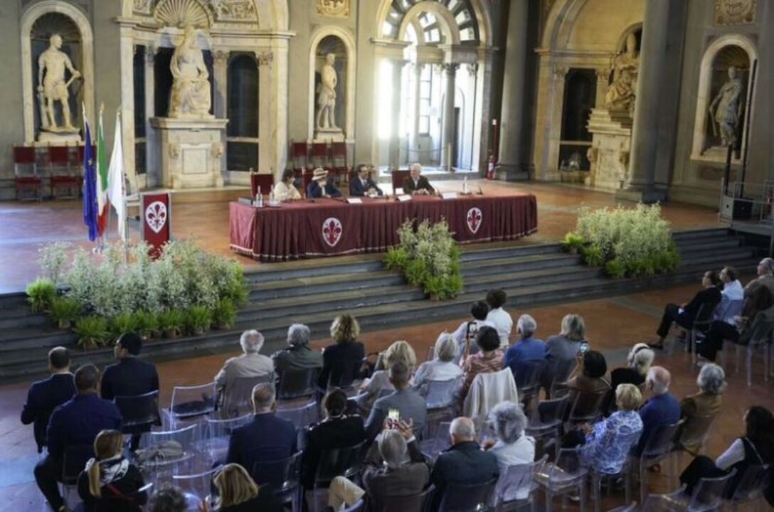
Given these setbacks, «caution is advised regarding occupation of the crest», said Paulo Sá Caetano at the public presentation of the research, which took place in the auditorium of the Faculty of Science and Technology at the Universidade Nova de Lisboa, in a session also attended by local residents.
Paulo Sá Caetano was very clear and emphatic regarding the precautions to be taken: «The recommendation that must be made is that there must be protective buffer zones capable of accommodating movements of this magnitude or even greater. We recommend a primary safety zone of 15 metres, plus a secondary zone of a further 10 metres,» he said, referring to the Pica Galo area.
The expert considers this recommendation essential in light of the observations, given that «it would be irresponsible» not to make it; he also advised that the area should remain unoccupied.
«To say otherwise is to expose people to danger that could jeopardise their safety,» he emphasised.
In the southernmost section, where a one-metre retreat has been recorded, the recommendation is less conservative, suggesting a primary protection zone of 10 metres and a secondary zone of a further 10 metres.
According to the study, the cliff crest is particularly sensitive, with retreat occurring discontinuously through localised, sudden movements that can be of great magnitude.
The experts also argue that within the defined ridge protection zones, the construction of new buildings, the reconstruction or extension of existing buildings, the construction of swimming pools, outbuildings, walls, or other structures that introduce additional loads, the installation of equipment, car parks, or activities involving the regular presence of people, the carrying out of landfills, excavations, or alterations to the topography, and the installation of new pipes or water drainage systems towards the slope.
Regarding the evacuation and demolition of buildings within the risk zones, the experts argue that all buildings on the crest of the fossil cliff and within the respective protection zones (primary and secondary), particularly those used for residential purposes, must be vacated and progressively demolished.
«Of particular note are the buildings situated along the crest of the fossil cliff, which is currently subject to erosion and retreat, stretching from Rua M to the south, continuing northwards along the crest to Beco 25 de Abril and ending at Rua de São Pedro. The intervention should begin with the buildings within the primary and secondary protection zones and those closest to the cliff crest,» the experts state in the study.
Demolition, they explain, should be understood as a structural measure to reduce vulnerability; therefore, the recommendation applies regardless of whether the buildings are legal or illegal, since the structures directly expose their occupants to cliff retreat, increase the load on the cliff crest, may contribute to local instability and heighten the risk to people and buildings at the base.
For future use of the cliff crest, the experts recommend repurposing the protection zones to prioritise natural conservation areas and reserving them for occasional human activity.
Furthermore, they believe that a survey should be carried out of the existing networks, ditches, conduits, drains and drainage channels at the top of the cliff, and that monitoring should be in place; should new cracks, subsidence, deformations or loss of support occur, the restricted area will need to be extended.
At the base of the cliffs, where falling boulders, landslides, debris, rockfalls, and material dislodged from the crest pose a risk, the experts' assessment has mapped potential spread areas, identifying those that must be evacuated and where protective measures can be put in place.
In February, after severe weather hit Portugal, authorities evacuated around 500 people from their homes in the municipality of Almada, in the district of Setúbal.
GC/ADB // ADB.
Lusa